24 March 2008
I went for a short hike in the Mattatuck State Forest off of Park Road in Watertown, CT.
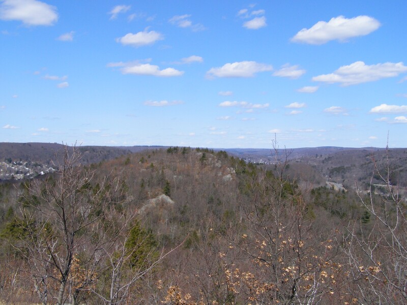
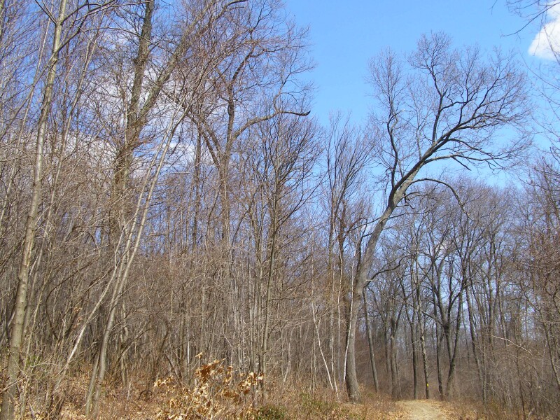
From a DEP website about letterboxes they have placed around their forests, I learned this section of the forest had experienced a 300 acre forest fire in 1986 -- resulting in a relatively young woods for the most part.
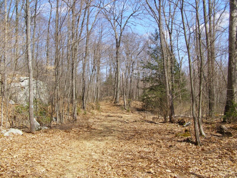
This is an ideal location for a intense spring time forest fire -- it's a south facing hill side. Until the trees leaf out in May, it's exposed to intense sunlight all day drying the leaves, sticks, and duff. High hills like this are also subject to more wind -- drying the forest further, and helping spread fires that start. Being moderately steep terrain, the fire will also spread much faster as it moves uphill, with the heat warming fuel ahead of the main fire.
Without a wind this road would serve as a decent fire break. With a wind and dry leaves blowing, the fire would easily jump the road. Given our fuel types and how low the most dangerous one here is -- the Mountain Laurel -- you could be fairly aggressive working up hill from a fire to reinforce a line along the road. But give that Mountain Laurel another 10 or 20 years to get denser and eight feet high, you would be in a whole different situation.
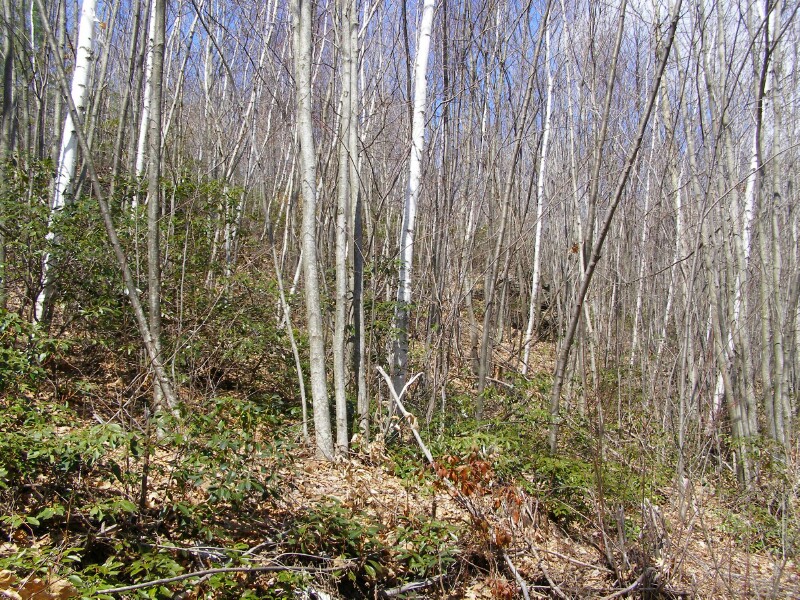
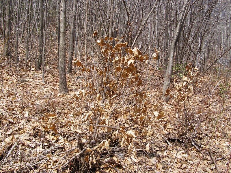
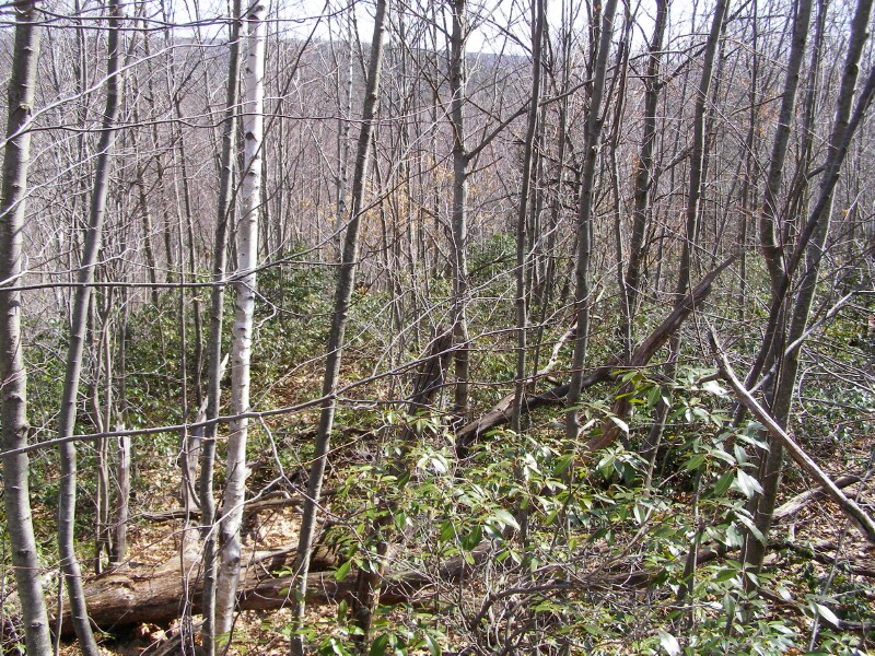
Dense thicket of White & Gray Birch trees, with some Mountain Laurel -- and the sun beating down.
Birch is a pioneering species, and does especially well following fires. It isn't shade tolerant, so the open spaces following a stand killing fire are well suited for it. Birch trees produce hundreds of thousands to a million tiny seeds annually, with transparent wings, that allow for great dispersion by wind, and these seeds germinate when the land on bare soil -- such as after a fire.
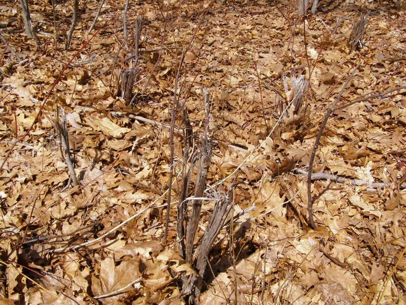
This looks like some relatively recent fire activity -- a small cluster of re-sprouted trees that burned. By the way, look in the background of the first picture. That's a pretty typical cluster you see when a tree resprouts after a top kill.
A stone wall in the woods. Not a great picture since there's little contrast in the photo with the leaf litter (and also notice the modern barn downhill, in the upper right corner of the photo.)
This brings up a couple real interesting points --
First, most stone walls were built about 50 years after the land was cleared. In New England the height of stone wall building was from the end of the Revolutionary War through the 1830s. The old yankees weren't so dumb to try and cultivate in a stone infested field.
Several things happened is with the clearing of the land. Topsoil was slowly lost, and frosts penetrated deeper with with the loss of the forest cover and thick layers of duff. And the stones eventually worked their way up and kept on coming.
Second, few stone walls were built by slaves or indentured servants. Despite the tens and likely hundreds of thousands of miles of stone walls in New England, the labor to build them was relatively small. An average farm family would expend several times as much labor each year cutting firewood as they did clearing stone.
Third, stone walls are mostly waste piles. This is a double wall -- stones stacked on each side, with each side slowly leaning in. That's a pretty stable way to build them. It's also neat -- what is known as a "stacked" wall, as opposed to a "thrown" wall. Somebody cared enough about how their property looked to neatly stack them.
Most stone walls are only waist high, or less. That's too low to keep cows in, and sheep having descended from mountain animals have no fear of climbing over stone. So wood, and later wire, was used on with or on top of the walls to reach the common requirement of being 4' high to be a legal fence.
I didn't see stone walls on the other side of the road, up the hill. Nor past this point -- so it's likely this is as far as routinely tilled land got. Uphill and west of this wall would've been used for pasture undoubtedly, but was not used for more then a few years if that for crops. The walls tell an important story about land use in these upland hills where they are common.
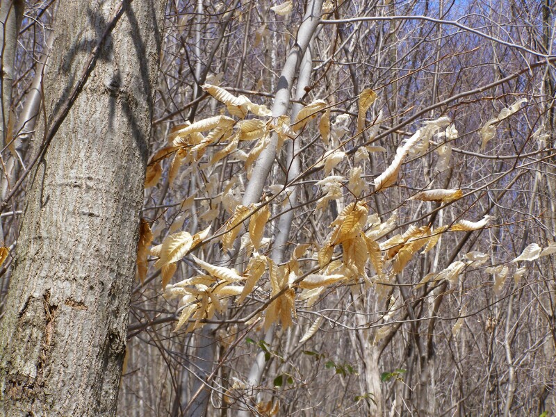
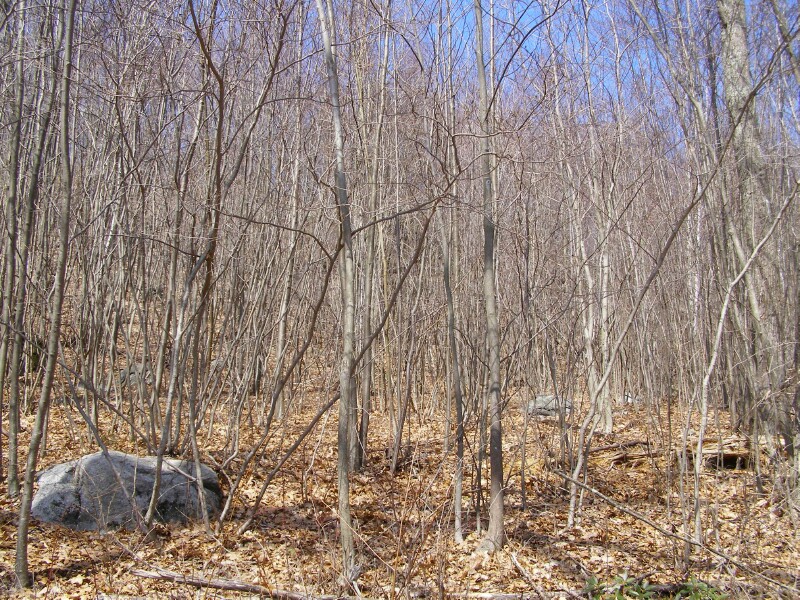
Birch tree holding onto it's leaves. Certain trees -- such as birches and oaks -- are known to hold onto more leaves over winter then other decidous trees. From a firefighting perspective this helps to increase the number of spot fires during the spring -- these leaves are more likely to catch fire and go airborne, blowing ahead of the ground fire.
In contrast the perponderance of young birch and other trees, we see a middle age oaks, perhaps a 80 to 100 years old judging from their size. So this soil can support large trees given enough time to grow them.
One of the tales told by this tree is how thick the woods once were -- notice how heavily it's bowed towards the clearing caused by the road, reaching for maximum sunlight. There must have been many and / or large trees to it's left it had competed with before.
A young oak holding onto it's leaves
It was not uncommon for farmers in the 19th and into the 20th century to cut-over young woods every 15 to 20 years, then turn their cattle over into the cutover land serving as low quality pasture again.
If you look at these thick stands of trees, they would represent an easy source of firewood -- small enough for one man to cut down with an axe in a few blows, then prop up and cut into firewood length pieces with a hand saw. No splitting needed! Let the cut pieces season over the spring and summer, they would be ready to burn in the fall. A larger tree is more manpower intensive to cut into short pieces, then allowed to season at least one year if not two before being split for firewood.
While Connecticut had legitimate, mature forests in 1910 a lot of the state was covered by these young woods, too.
In Forestry in New England (1912) these "sprout hardwoods" saw the greatest percentage loss annually of any forest type in New England -- 3.56% per year, or 48,000 acres. Today these forest types are known Oak-Hickory in New England, although their name in 1912 is very indicative of what was often seen when people of the day looked at them.
That's once every 30 years on average an acre would burn -- no doubt many areas seldom saw fire and could mature, will other areas like a south-facing hill like this burned much more frequently then every 30 years. Considering this stand is 21 years after a stand killing fire, it speaks to what much of Connecticut's woods looked like well into the 1950s.
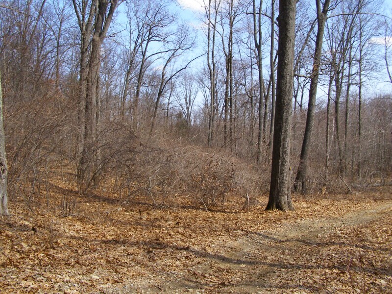
Just a brushy patch in the forest -- the old woods road when towards the left, but since has been re-routed to the right. Makes me wonder what old land use ended up with this briar patch here.
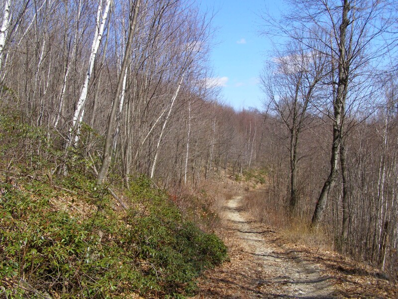
The road has transitioned fully to a grassy "woods road" as we usually call them. Certainly not designed for regular vehicle use, these woods roads provide access for fire protection and when frozen in the winter are used to haul out harvested timber and cordwood.
These shattered stumps are the tell tale sign of a boom-mounted flail mower being used to "brush out" the sides of the woods road to keep it open.
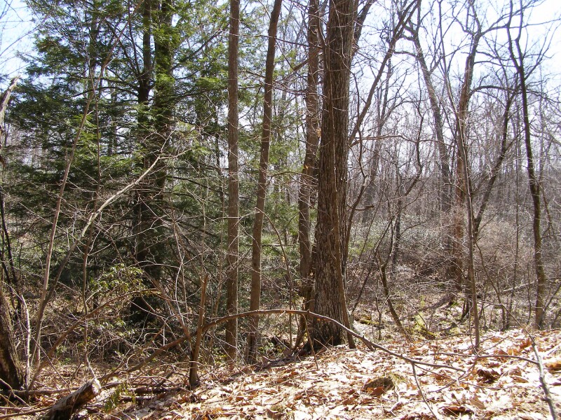
It's a hemlock!
Photo doesn't really do justice - Hemlocks are not a fire tolerant species. This one sits on the northwest corner of a wetlands area, which protected it during the major forest fire in 1986.
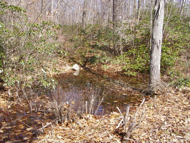
This pond fits the size and shape of the "round" style of water holes built by the Civilian Conservation Corps, with the goal of one water hole per hundred acres of state forest. This is the only one I saw in this tract, however this is also the only significant wet area one could have been built.
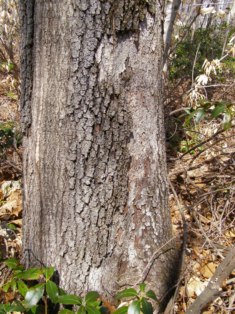
Was this tree's lower bark damaged in the 1986 fire, but the tree managed to survive? That is my guess. It sure wouldn't have taken much more damage to the bark to effectively girdle and kill the tree.
Another situation the photo doesn't do justice.
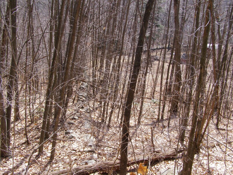
Pretty thick brush along a very steep hillside on a southeast exposure.
What it reminded me of though is a few of the "Western" rules. From up on top you would not be able to observe the fire behavior below (it drops sharply maybe 120 feet) -- the hill is too steep, the brush is too thick. If you were working to reinforce a fire line along the nearby woods road posting a Lookout to watch that fire would be an important safety item. Because we don't encounter these situations often out here, I think it is something many firefighters and officers aren't aware of.
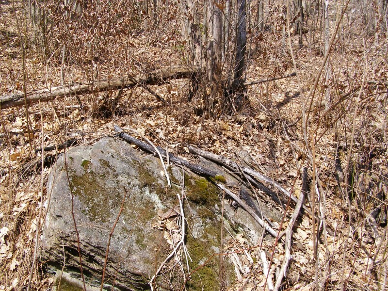
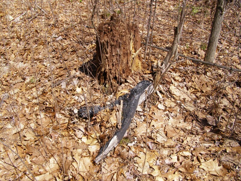
I was sitting down on a cliffside resting for a bit, when I suddenly noticed I was sitting next to a charred Mountain Laurel.
Could this be from 21 years ago?
Or some more recent fire?
I didn't notice any other obvious charring except for this one dead plant. Did the fire sterlize it enough to last all these years? Or did a small fire started by a cigarette or some other source just smoulder on this plant and not extend?
I have seen some bizarre vegetation fires -- one morning after a foot of snow had fallen I was climbing a ladder with an Indian Tank on my back to extinguish a fire burning in a punky tree. A spark from something -- maybe a passing plow truck, somehow ignited a fire 12' off the ground in the middle of winter.
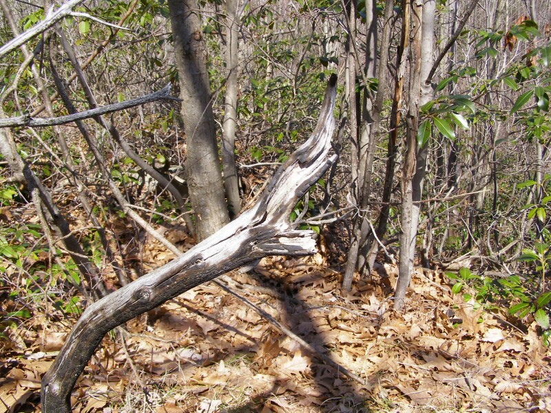
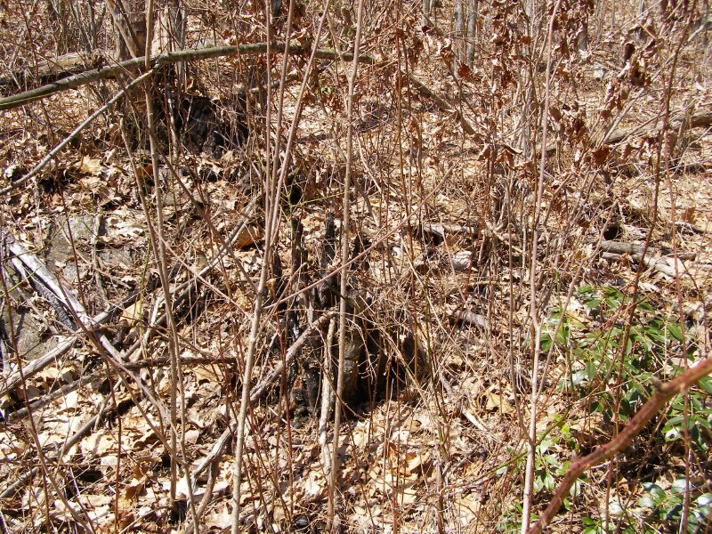
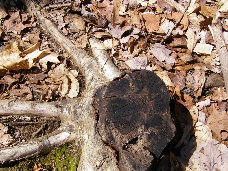
This was the third odd bit of charred wood I found. That stump sure looks like it could've been killed two decades ago, but where did this wood come from? The three pictures of charred wood in this presentation each were about a 1/4 mile apart, and none looked liked they had been used as a campfire.
This is not char -- it's a fungus that is black. If you rub your finger against it, your finger comes off clean. On charred wood, in addition to the pronounced "alligatoring" your finger picks up the black carbon.
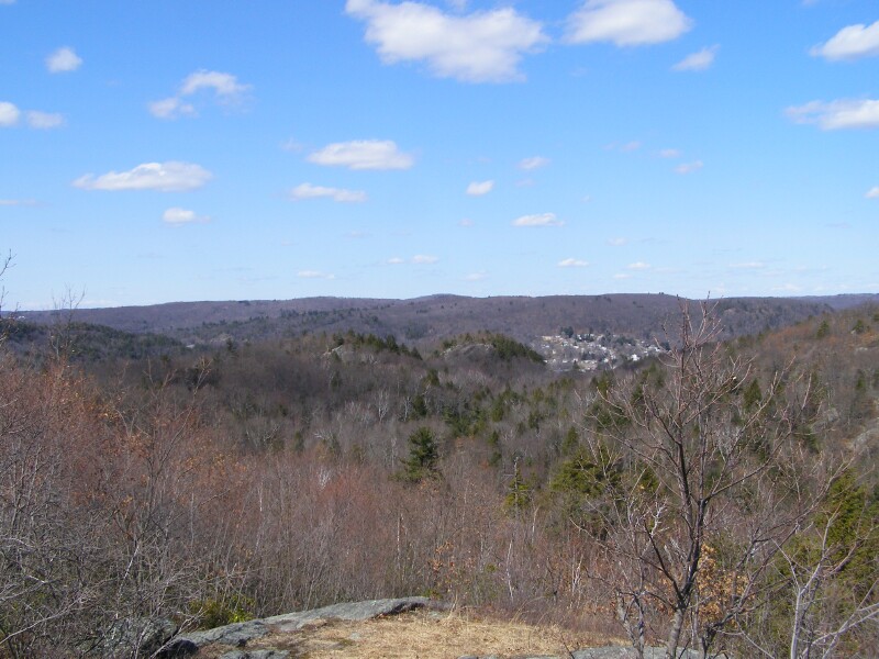
A couple pictures looking north from the peak, above Leatherman's Cave.
Is it coincidental that there is heavy White Pine patches on the north side of the hills, but hardwoods predominate the more likely to burn south slopes? Maybe. Maybe not -- I don't know the specific history here, but it is an interesting thing to observe.