Road trip to Rhode Island!
The photos taken (mostly) on 2 May 2010 in the Exeter, Hopkinton, and Richmond, Rhode Island area.
This area has a history of major fires, including 1930:
And 1951:
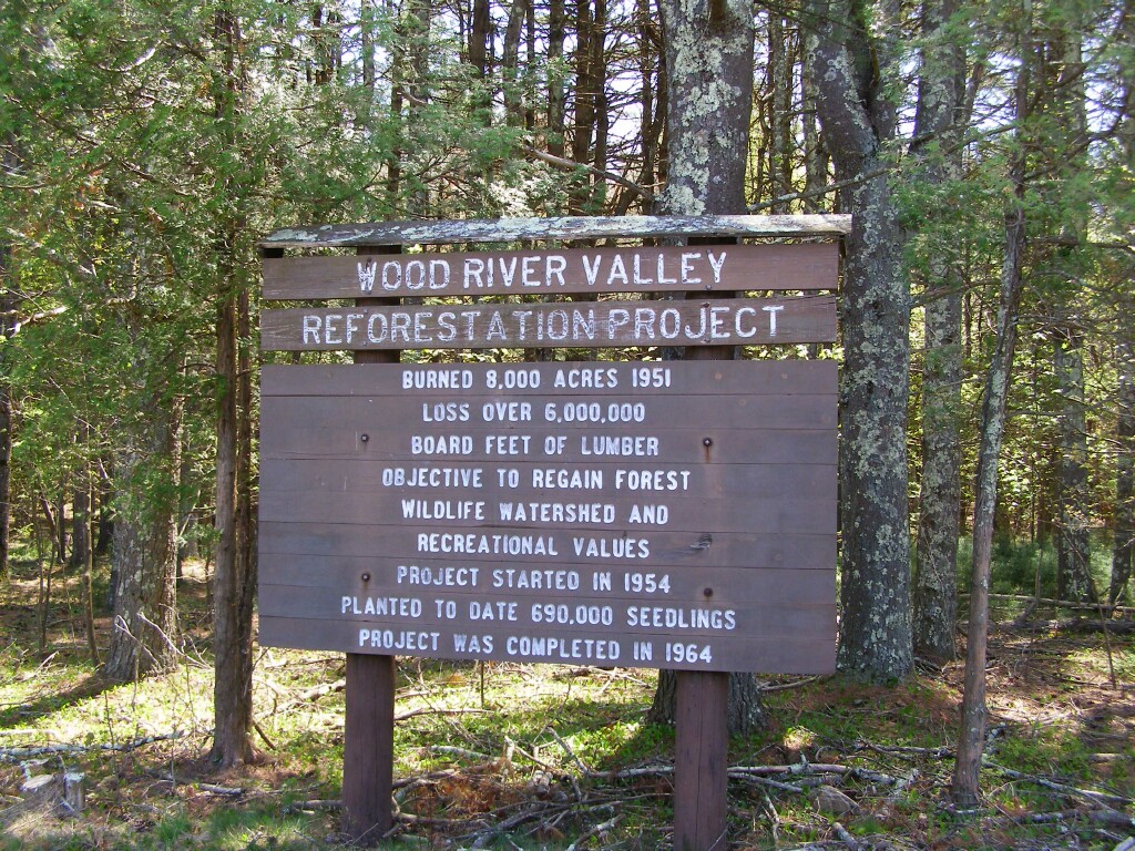
I'm fairly certain some of these photos were areas affected by both fires.
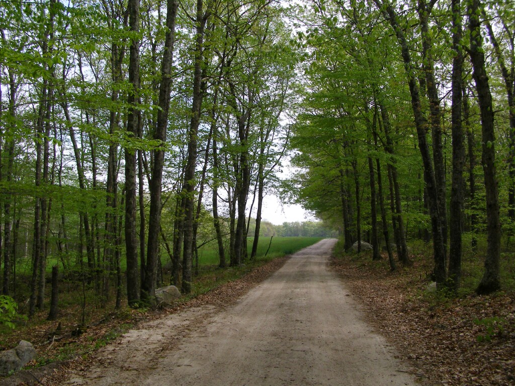
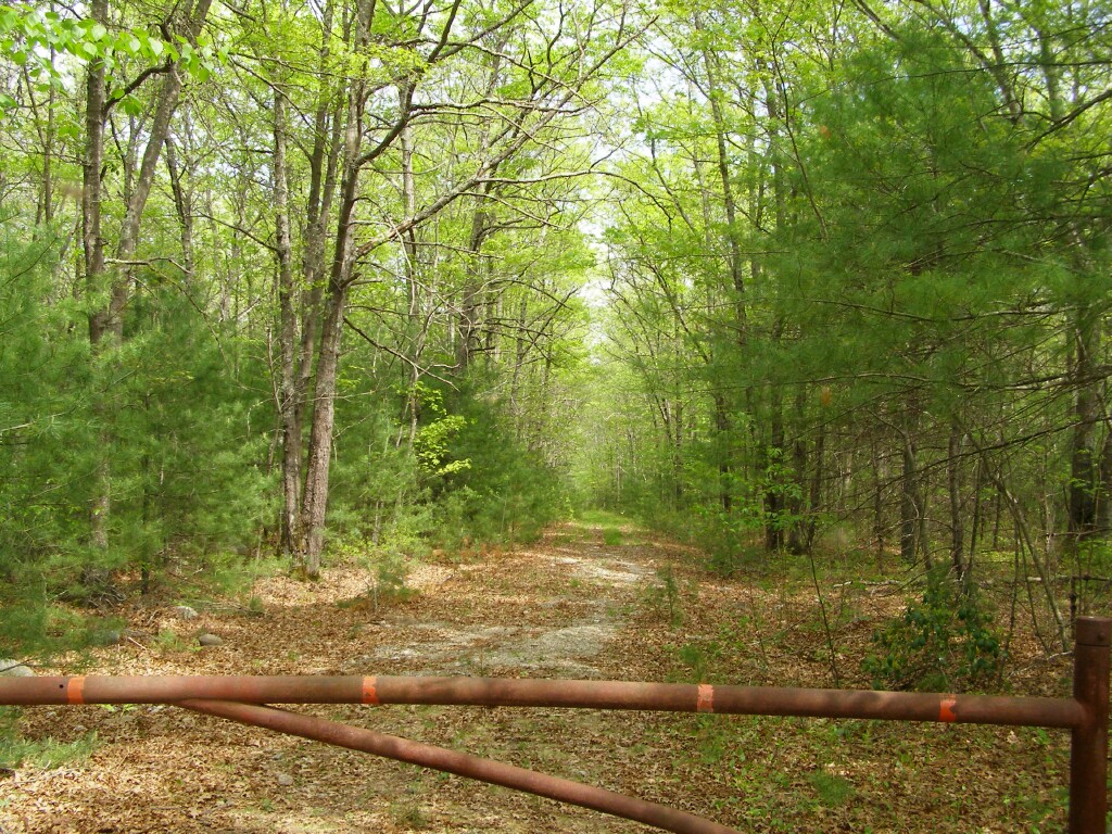
Kenney Hill Road.
Scrub oak with a Rhodendron and blueberry(?) understory:
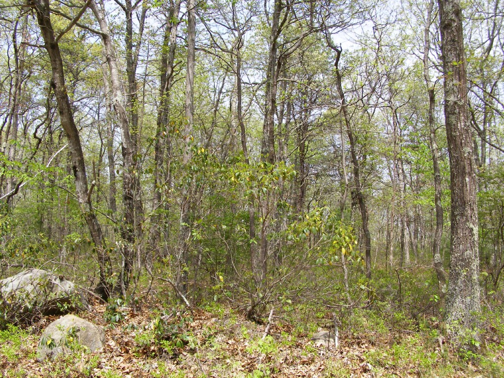
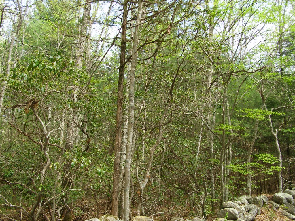
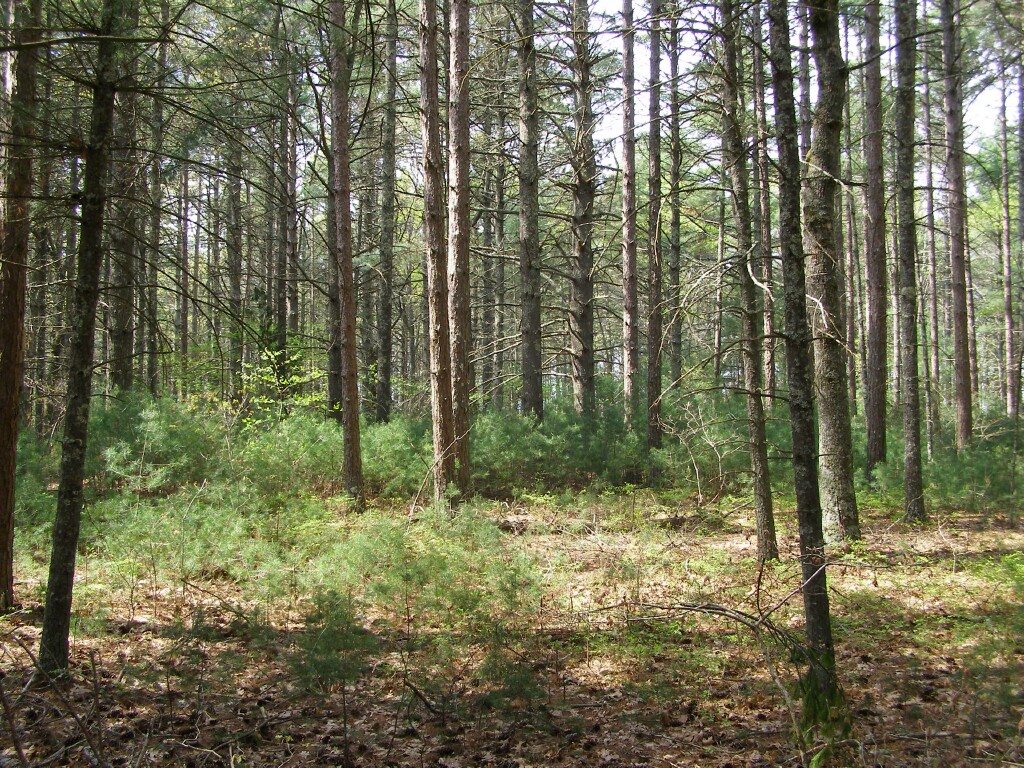
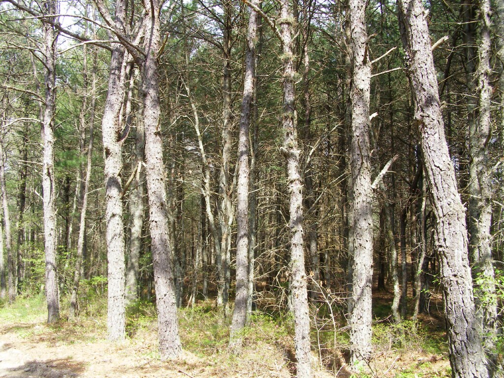
Scrub oaks, pitch pines, white pines, brushy understory:
The above are "Pitch Pine - Oak Forest," as described by "Natural Communities of Rhode Island"
6. Pitch Pine - Oak Forest. A mixed coniferous/deciduous forest community that typically
occurs on well-drained, sandy soils of glacial outwash plains and moraines, and also on thin,
rocky soils of ridgetops. Dominant trees are pitch pine (Pinus rigida), comprising over 25%
cover, mixed with one or more oaks including scarlet oak (Quercus coccinea), white oak (Q.
alba), and black oak (Q. velutina). The relative proportions of oak and pine are highly
variable within this type. The shrub layer is well-developed with scrub oak (Quercus
ilicifolia), late lowbush blueberry (Vaccinium angustifolium), and black huckleberry
(Gaylussacia baccata), and the herb layer is generally sparse, with bracken fern (Pteridium
aquilinum), wintergreen (Gaultheria procumbens), early sedge (Carex pensylvanica), and
pink lady’s-slipper (Cypripedium acaule). This community is common in R.I. and often
develops in the absence of fire as a transition type between pitch pine/scrub oak barren and
forest types dominated by oaks. Where white pine is a significant co-dominant, also see
White Pine - Oak Forest.
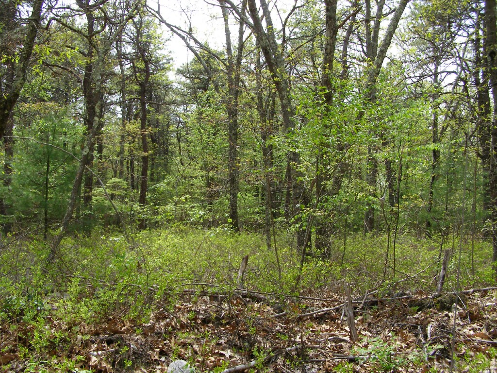
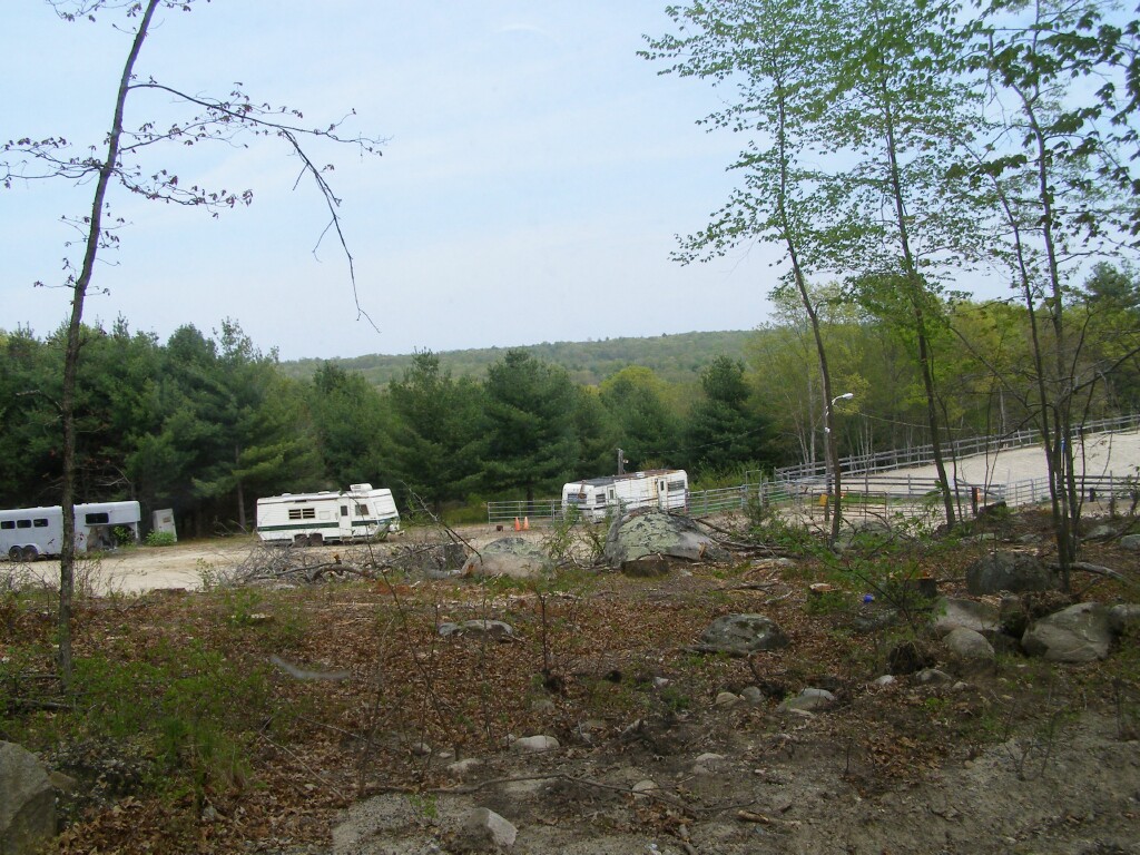
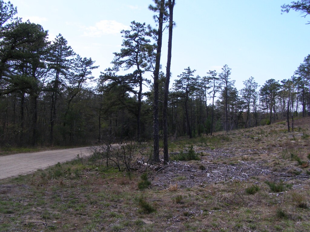
Less scrubby oak forest as we approach a hay field.
Like the hayfield, places like this horse exercise ring are good things to note in extreme fire situations "safe zones" to retreat to. Generally you're looking for at least four times the flame height as a minimum seperation.
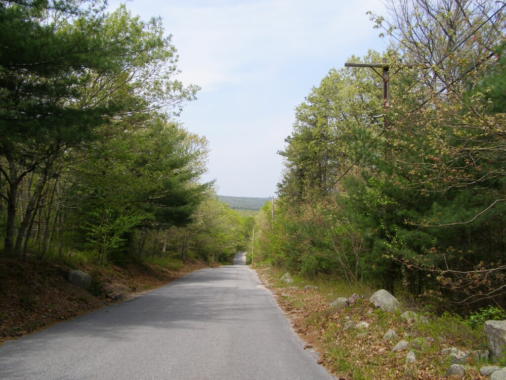
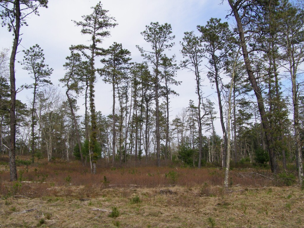
Looking north, down Woody Hill Road in the Wood River Valley.
This is a map of the area of the photos above.

Note the "Brushy Brook Drive" on the right hand side.
Some Googling revelead this was originally planned as a golf course. The current proposal is take advantage of laws regarding affordable housing to try and push throw a higher density then normally allowed development:
From the Hopkinton Planning Board meeting minutes of 24 November 2009.
"Attorney William Landry represented the applicant and owner, LR 6-A Owner, LLC.
Mr. Landry said the project is consistent with local housing needs and that nothing
proposed will have an adverse impact on health, safety and welfare. He said it is
moderate income housing and the site was already permitted by the town for a higher
density as an approved PUD in 1997. This layout is similar. The parcel is three hundred
fifty-eight (358) acres with two hundred (200) acres remaining open space. The plan is
for three hundred (300) units: two hundred (200) three bedroom single family units,
forty (40) quadplexes and sixty (60) duplexes. They have provided notice within 500
feet."
Looking at the bird's eye, it's not terrible...although as this photo of the entrance shows there are some pitch pines nearby:

One wonders in extreme fire conditions, with a prolonged drought and seeing signficant spot fires caused by embers upwards of 1000' in front of the main fire what a development like this would be like. Embers landing on wood mulch and evergreen landscaping plants could be, um, interesting.
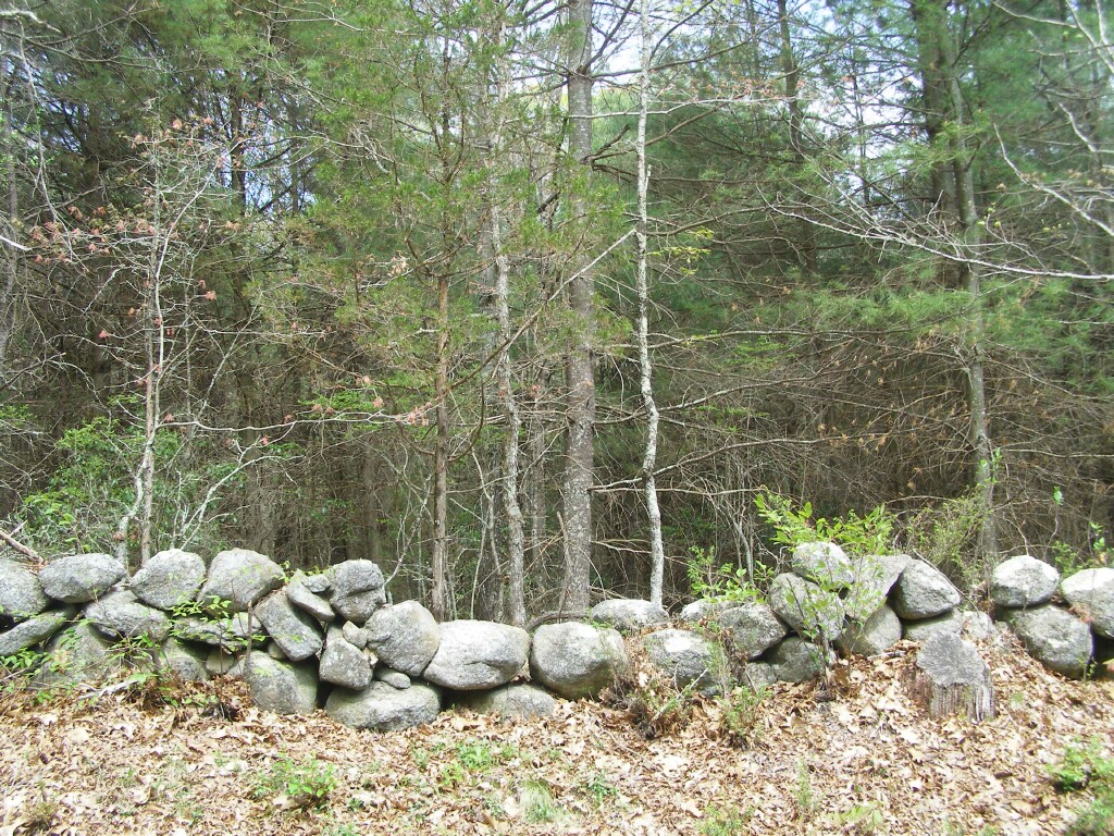
Woody Hill Road, Exeter.
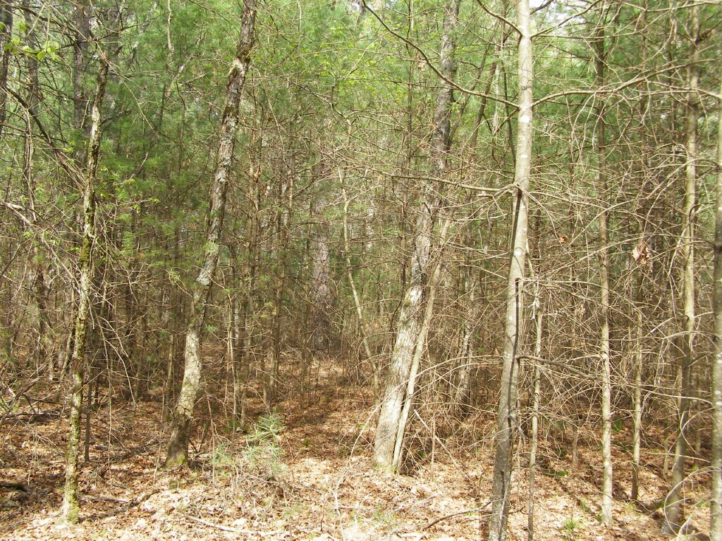
Dense understories of white pines, rhodendrons, and other brush. It's so thick even a fire in leaf litter would be a heck of a challenge to reach.
Can you say, "Fuel Ladder."
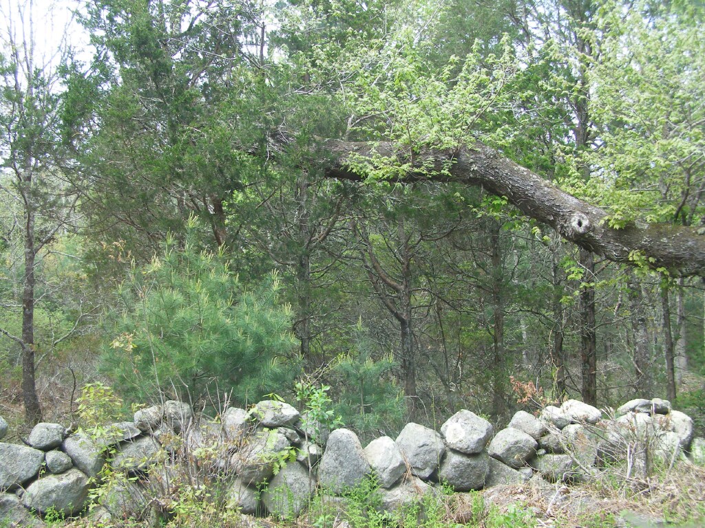
Here some cedars are mixed in. Again, nice fuel ladders as brush on the ground would carry fire to young white pines, and the pines to the cedars. The ancient, broken oak limb would likely become a source spitting sparks until it is sawn down.
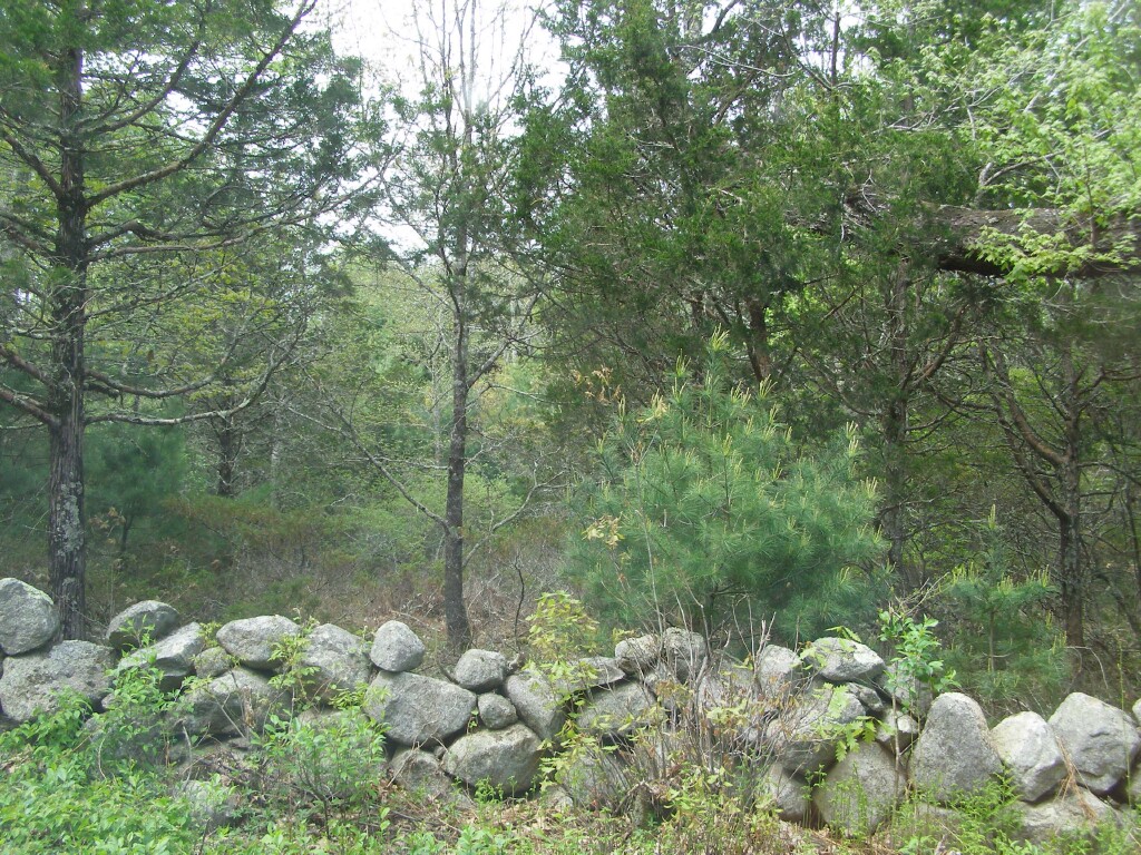
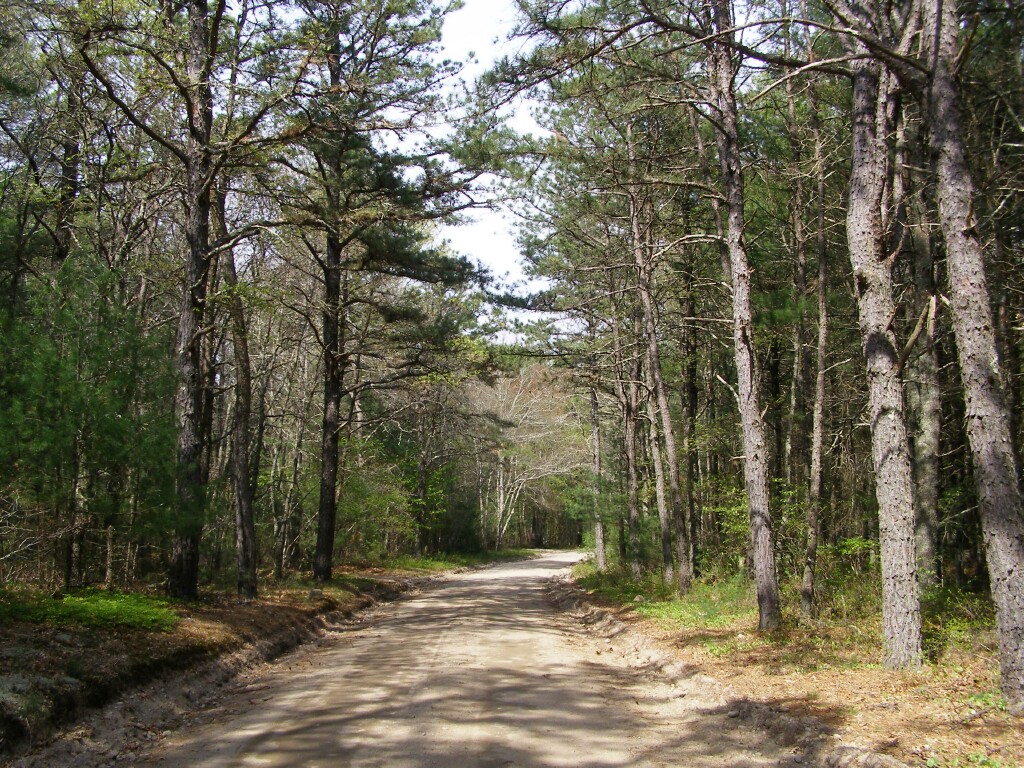
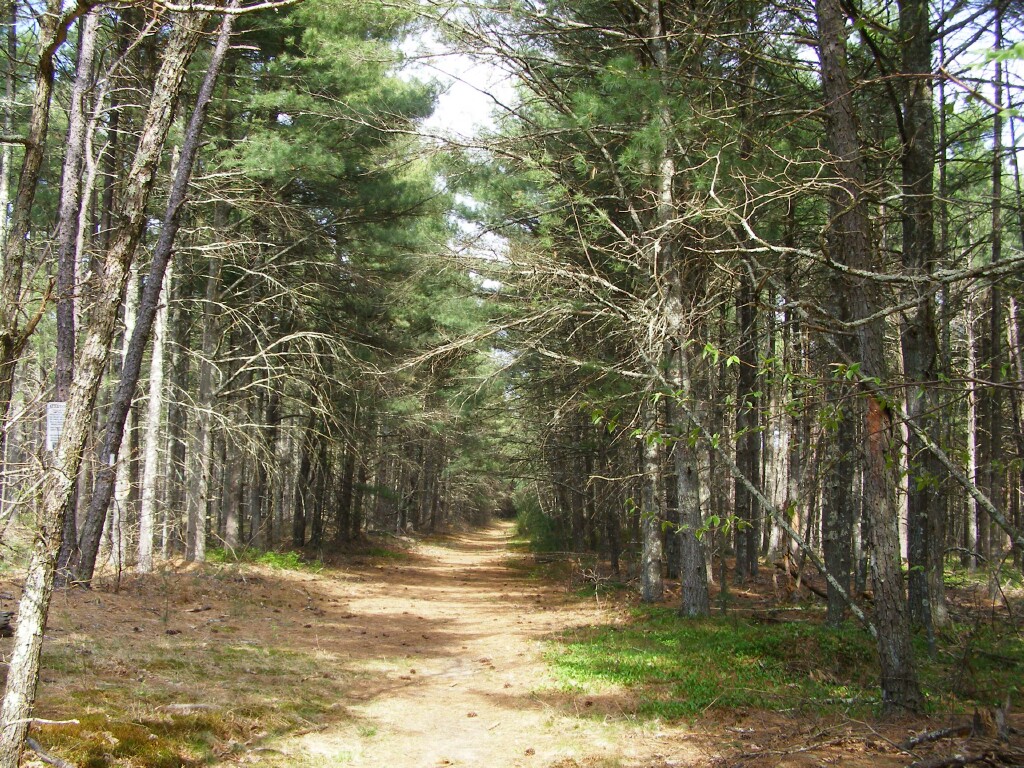
Skunk Hill Road, Arcadia Management Area (a state forest). This is a fire road that runs between Skunk Hill and Blitzkrieg Trail. Young white pines under a scrub oak canopy. Certainly in no condition to try and make a control line along, or even possibly consider as an access road, during high winds with Very High or Extreme fire danger ratings...at least without a considerable amount of prep work.
Pines along Blitzkrieg Trail in Arcadia Management Area:
One issue is in a few years those young pines will be adolescents. Here young white pines mix with older pitch pines.
Dense pitch pines along Blitzkrieg Trail.
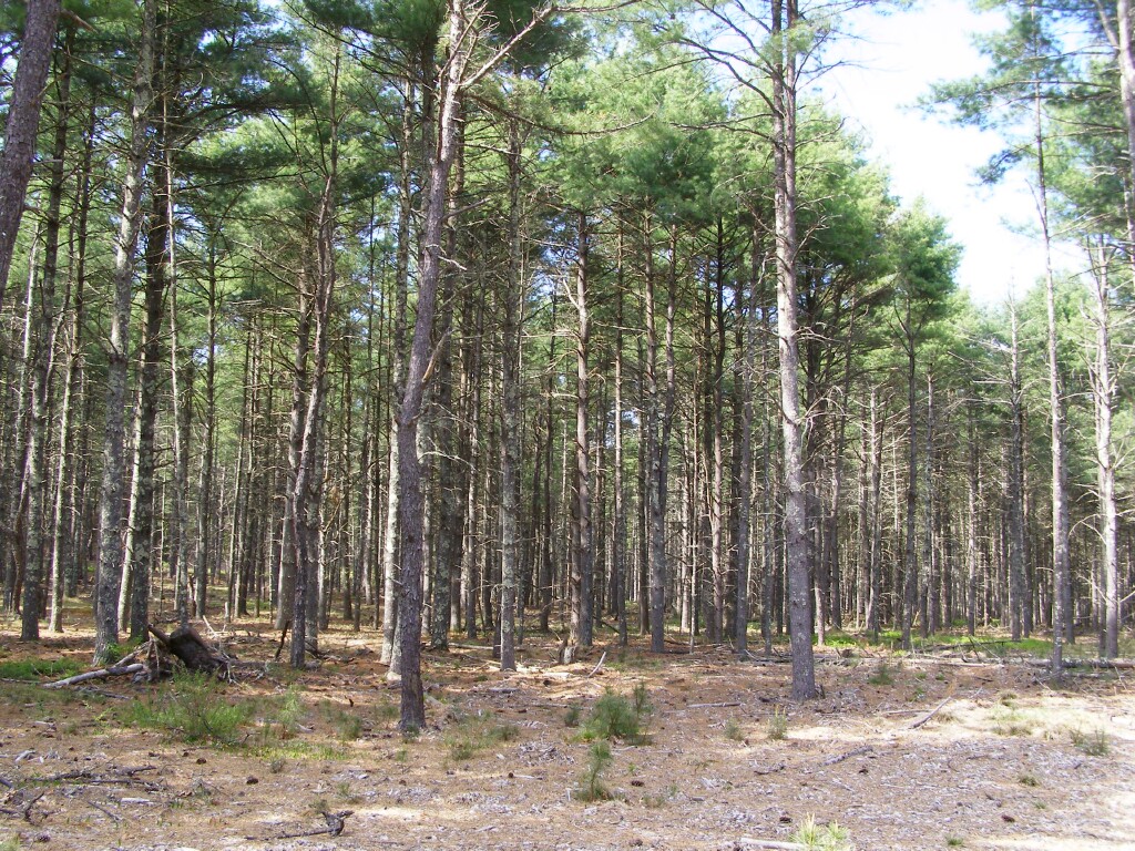
An area that is being treated to reduce the fire hazard. This is very similar to the treatments being used in Massachusetts at the Montague Sand Plains as well as similar northeastern barrens. The opposite side of the street is private property belonging to the Mount Tom Club.
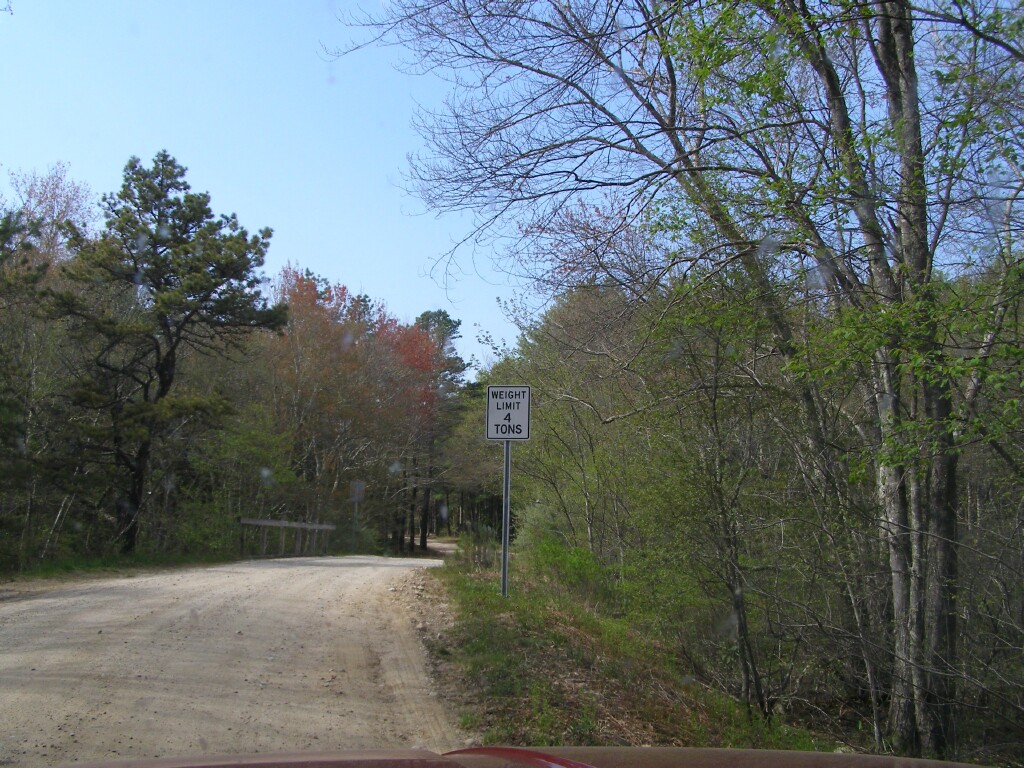
There are probably brush trucks built on F-350 chassis that wouldn't meet the weight limit for this bridge.
A few pitch pines along a fire road dominated by white pine. Maybe OK for ground fires, but it wouldn't slow a crown fire. The link to the Montague sand plains above includes a nice chart that shows wind speed and canopy density. A less dense canopy is far more resistant to crown fire. It seems to me these roads are the ideal place to keep a thinner canopy -- call it "park like" if you wish.
But all is not lost. Fuel management is underway. Perhaps ironic, since these are trees planted in the reforestation project at the '51 fire.
It will be interesting to follow this area over the next few years to see if the procede south along Blitzkrieg Trail with similar treatments.
One final thought is that the whole forest doesn't need to be treated. There is a management method called "SPOTS" a/k/a "SPLATS". The goal is to keep fires from building up momentum by treating 20% to 30% of the area, places where the fire will slow down to give suppression efforts a chance to catch up, or to break the feedback loop of convected and radiant heat of a crown fire. This type of strategic fuel reduction combined with programs like FireWise and local fire department preparedness for ember storms can go a long way to being able to live in a fire prone environment like these woods.